


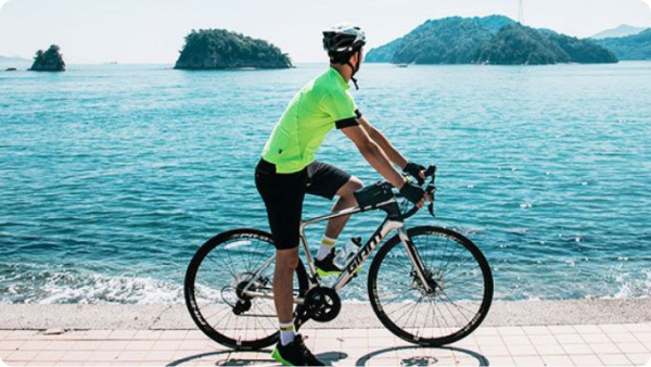


Mount Ishizuchi Roadway
【147.0km】A superb view road commanding West Japan's highest peak; Ishizuchi Mt.
Mount Ishizuchi Roadway
【147.0km】A superb view road commanding West Japan's highest peak; Ishizuchi Mt.
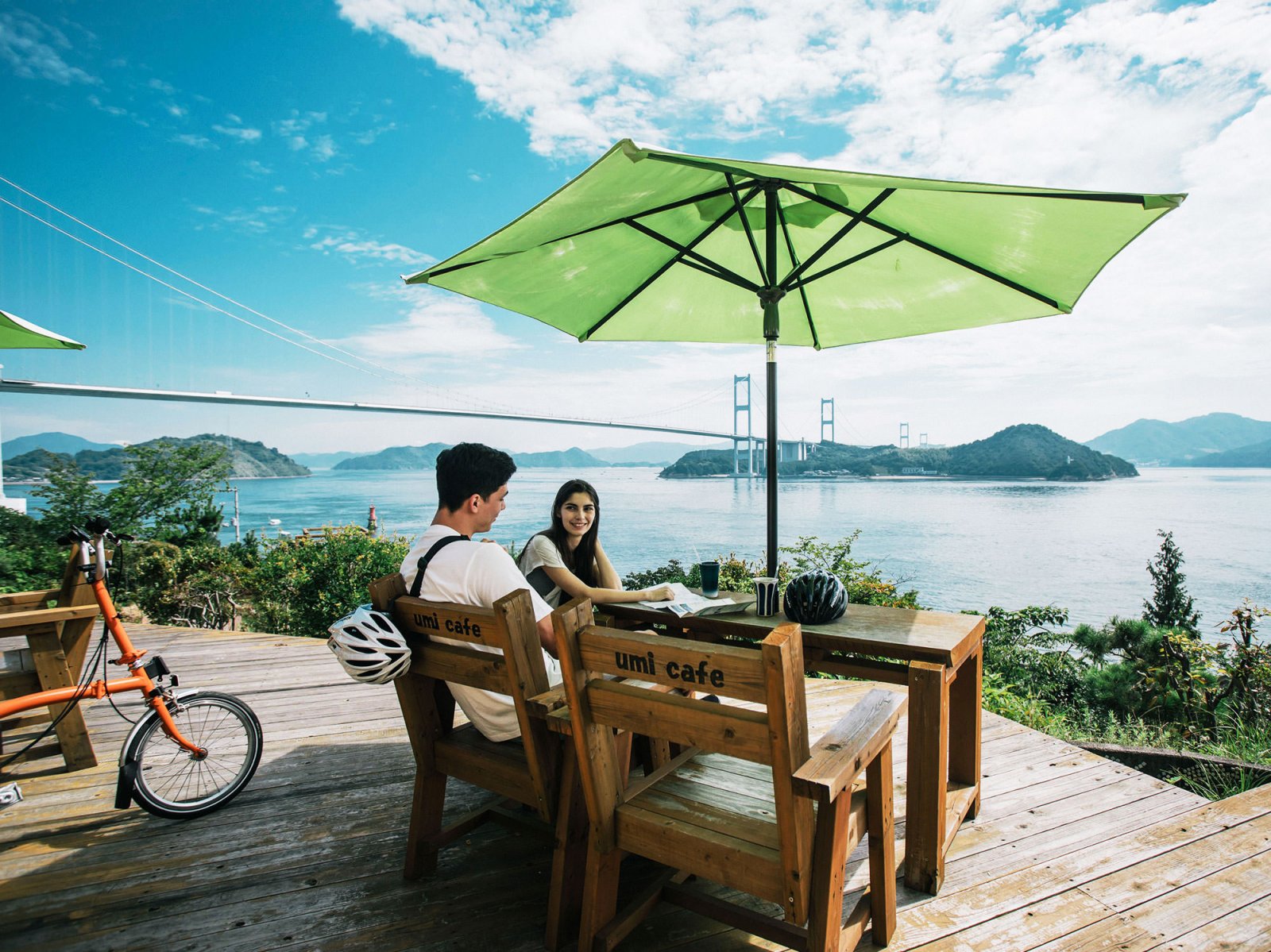
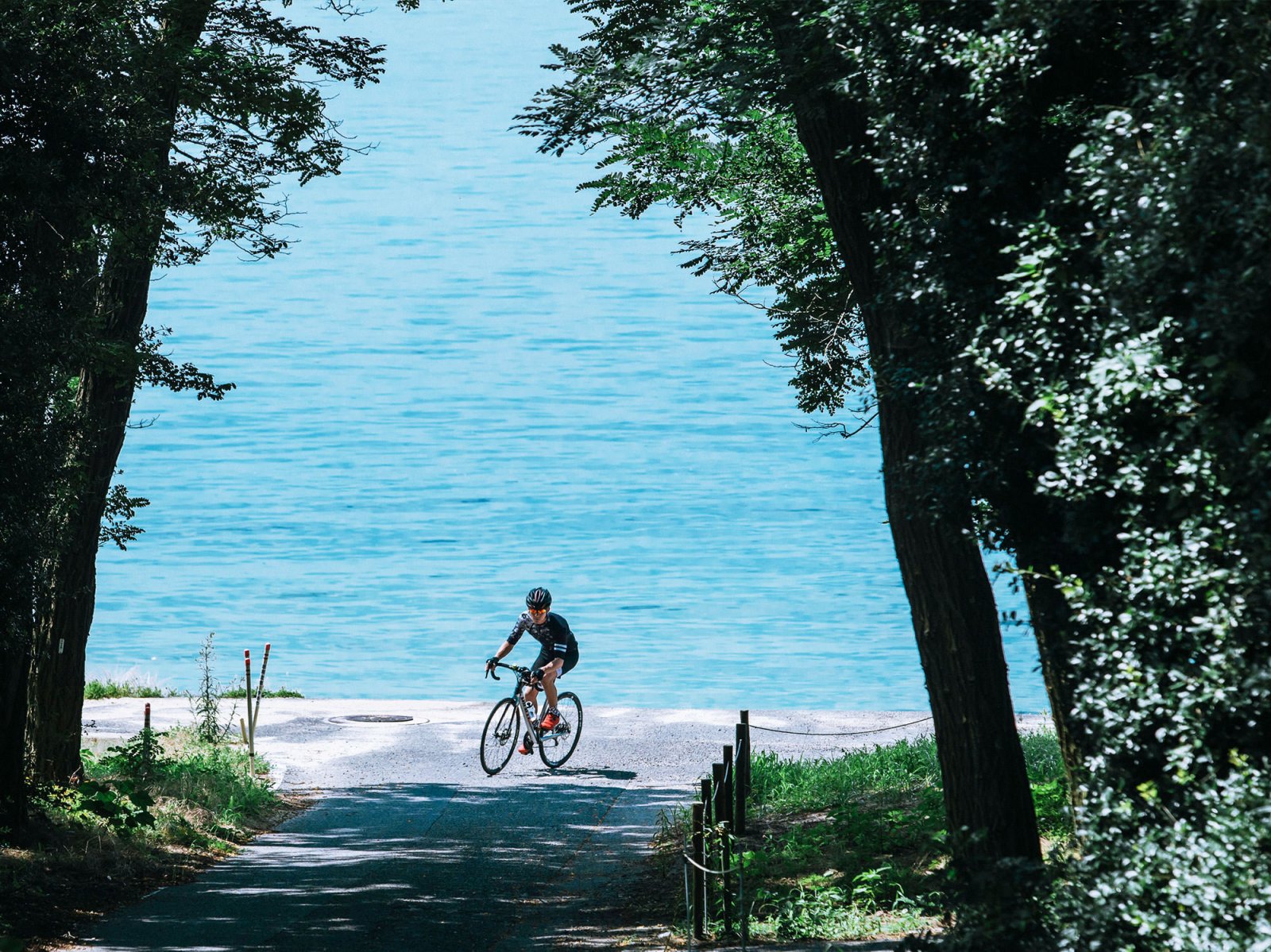
This route features breathtaking scenery, including vibrant vegetation that changes as you climb, the beautiful canvas woven by the forests and clear streams, and Mount Ishizuchi which is the highest mountain in western Japan (at 1,982 meters). Mid-course, the the well known Kamegamori Rindo (the UFO Line) follows along the ridge at an elevation of 1,300 to 1,700 meters, and has been featured in TV commercials. With nothing to block your view of the vast sky as you ride, this cycling route is said to be the most scenic in western Japan.
With a length of 27 kilometers and countless sharp turns and inclines, the route tests the endurance and technique of even the most seasoned veterans, but the ability to cycle the route while also taking in the changing views of nature through the seasons, such as Ehime’s secluded Namerikawa canyon, the bucolic rural scenery of Kumakogen, and the distance views of the sea from the UFO Line, is unsurpassed. There are plenty of hot springs and places to dine in the city of Saijo along the way, so we recommend it as a place to relax after cycling.
- distance147.0km
-
level
 #Intermediate
  #Advanced
Spots
-
start
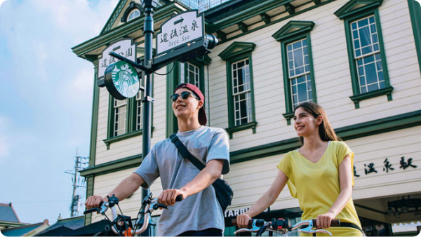
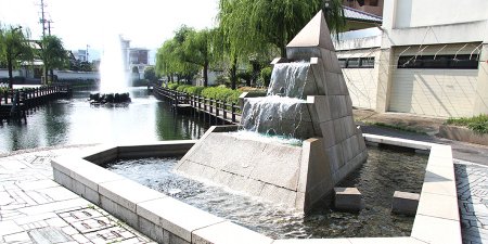
Aquatopia
Saijyo City was named by the government of Japan as an aquatopia, and has come to be know as the "City of Water". Spread accross the city are around 3,000 spots called "uchinuki" where underground rivers gush up from the ground. There are walking paths that follow these underground rivers, and places where you can drink the water, creating an overall refreshing atmosphere throughout the city.
Address:Saijo City, Kanbaiko, Ehime Prefecture View in Google Maps
View Official Website -
0.5km
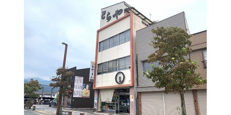
Toraya Confectionary's Toraya Cookie
Founded in 1945 in Saijo, Toraya is a popular sweets shop. The original founder's oldest began making original variations of European sweets, resulting in the now famed Toraya Cookie. These delicous cookies are a much loved local souvenir.
Address:856-13 Omachi, Saijo, Ehime Prefecture View in Google Maps
-
7.7km
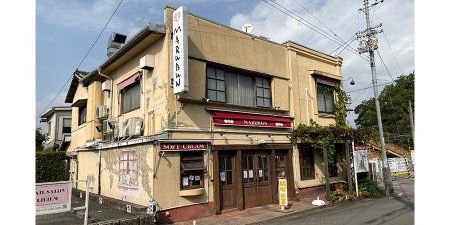
Malbun Komatsu Store's Hot Plate Napolitan
Once a busy Japanese style eatery, Malbun is now a western food restraunt dearly loved by locals. Napolitan, a Japanese style sphagetti dish with ketchup sauce served on an iron plate is this establishment's signiture dish, said by many to be a must-eat delicacy of Saijyo City. The rich flavor of ketchup mixed well with the thick sphagetti noodles, the big sausage and the soft-boiled egg topping all make for an unforgettable meal.
Address:407-Shinyashiki, Komatsu-cho, Saijo, Ehime Prefecture View in Google Maps
View Official Website -
9.9km
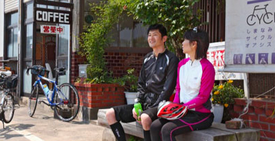
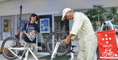
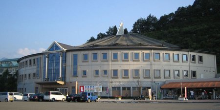
Roadside Station Komatsu Oasis
This is the closest road station to Mount Ishizuchi, the highest peak in western Japan. Here you can find local produce and delicacies from the region as well as an outdoor shop run by Montbell. For cyclists and travellers who like to stay active, there is a rock climbing wall inside the Mntbell shop, and a campground next door. Be sure to have a refreshing bath at Tsubaki Hot Spring Komatsu, where you can enjoy a beautiful panoramic view.
Address:22-29 Shinyashiki Otsu, Komatsu-cho, Saijo, Ehime Prefecture View in Google Maps
View Official Website -
15.9km
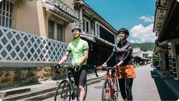
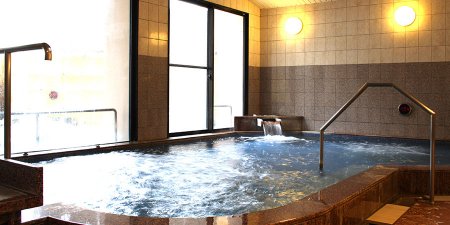
Shikokuya Hot Spring
In Shikoku there is a famous pilgrimage that traverses 88 temples found accross the island. Hot Spring Shikokuya is a well konwn resting point for the pilgrims that make this journey. Since one of the 88 temples is just nearby, it's a cenvenient place to take a break. The hot springs are also said to have beautifying qualities given by subtly slimy spring water.
Address:47 Akiho, Komatsucho, Saijo, Ehime Prefecture View in Google Maps
View Official Website -
16.1km
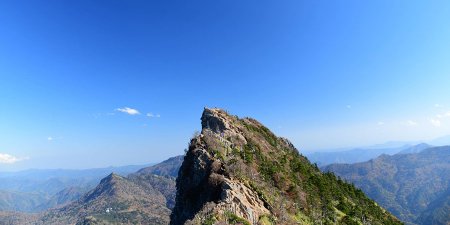
Ishizuchi Mountain
Mount Ishizuchi is the highest peak in western Japan, at an altitude of 1,982 meters. Historically the mountain itself was once worshipped as a god. Traces of this tradition can still be found, as this mountain is now one of the seven sacred mountains of Japan. Mount Ishizuchi is also popular among tourists as a place with great spiritual power. This route passes near the ridge of the mountain, providing a mystical and stimulating experience surrounded by nature.
Address:Wakayama, Kumakogen Town, Kamiukena District, Ehime Prefecture View in Google Maps
View Official Website -
20.7km
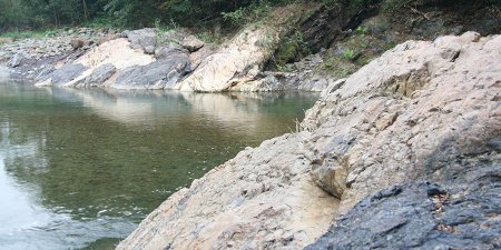
Yuyaguchi Fault Line
In Nakayamagawa Canyon several fault lines which have become exposed due to crustal deformation can be seen. Here you can clearly see the Japan Median Tectonic Line, Japan's longest fault line which runs through almost half of the entire country. The rare sight of red sandstone pushed upward by layers of black mica schist has been deemed a natural monument by the prefectural government for its geological value.
Address:Kurumi, Tanbara-cho, Saijo, Ehime Prefecture View in Google Maps
View Official Website -
36.2km
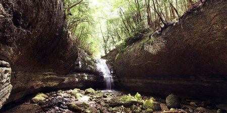
Namekawa Canyon
One notable site in the secluded Namerikawa Canyon, a popular destination in Ehime, is this river bed formed within a single rock. Known as the Namera, this river bed was created by the flow of water over thousands of years. The rock, which is over one kilometer in length, has an unusual shine and texture, and the clear water flowing over it produces a magical sight. If you walk along the stream for about 20 minutes, you will arrive at the Oku-no-Taki (Taki-no-hara) waterfall. When the waterfall appears before your eyes, surrounded in massive, gently rounded stones, the feeling is a though you have descovered a hidden world.
Address:Tōon, Namerikawa, Ehime Prefecture View in Google Maps
View Official Website -
50.8km
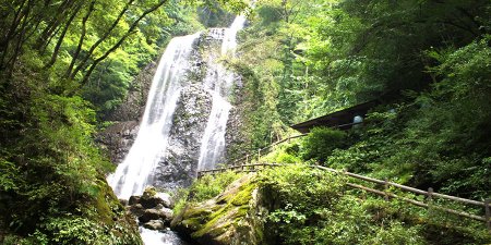
Shirai Falls
The Shirai Fall has long since been known as a scenic spot due to its crushing 96 meter waterfall as well as the beautiful surrounding nature. Famous Japanese writers such as Shiki Masaoka and Soseki Natsume have written Haiku and Tanka (poems) about this waterfall. In winter, the falls freeze and become one big piece of ice, creating a quiet, mysterious scene.
Address:Kawanouchi, Tōon, Ehime Prefecture View in Google Maps
View Official Website -
62.8km
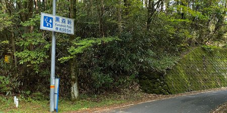
Kuromori Pass
Kuromori Toge is the first peak in this cycling route, reaching an elevation of 985 meters. It is also marks the boundry between Touon City and Kumakogen City.
Address:Sugou, Kumakogen, Kamiukena District, Ehime Prefecture View in Google Maps
-
85.2km
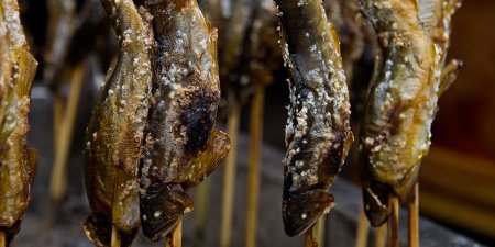
Omogo Furusato Market's Grilled Sweetfish
Omoga Furusato Market is located at the bottom of a roughly 22 kilometer uphill incline called Mount Ishizuchi Hillclimb. Here you can enjoy local speciality foods such as konnyaku, broiled corn, and salted grilled sweetfish. Be sure to rest up before going on uphill ride through the wilderness of Mount Ishizuchi.
Address:26 Ainoki, Kumakogen, Kamiukena District, Ehime Prefecture View in Google Maps
View Official Website -
85.2km
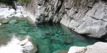
Omogo Gorge (Omogokei)
This canyon is eight kilometers in length, and is located on the southern side of Mount Ishizuchi. Many scenic spots recognized by the government can be found spread throughout this area; even if you spend a whole day here you might not see them all. Many who come here are surprised by how clear the water is. If you look you can see the riverbed even from a distance through the deep blue river water. The multicolored leaves of autumn are also a beautiful sight; fall is a great season to visit.
Address:In Wakayama Ishizuchi Quasi-National Park, Kumakogen, Kamiukena District, Ehime Prefecture View in Google Maps
View Official Website -
103km
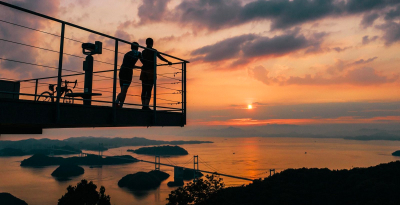
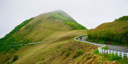
Kamegamori (UFO Line)
This 27 kilometer route follows the ridgeline of the Shikoku mountains, including the highest peak in western Japan at 1,982 meters, Mount Ishizuchi. The route reaches a maximum elevation of 1,690 meters. The view from here reaches to the Pacific Ocean and the Seto Inland Sea unobstructed. Following the ridgeline of the mountains between an elevation of 1,300 and 1,700 meters, this route has been used as a location for many TV commercials because of its beautiful views. In spring you can see the Akebono azaleas and the autumn leaves in the fall, but be aware that the route closes in winter from the end of November through early April.
Address:Kamegamori, Saijo, Ehime Prefecture View in Google Maps
View Official Website -
130km
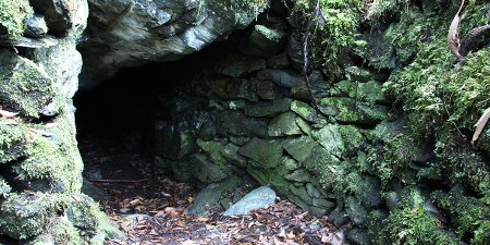
Kaza-ana
Kaza-ana means "hole of the wind". As the name suggests, this is a spot where wind blows continuously from the depths of a cave. This phenomenon is created by underground, and in summer the difference in air temprature inside and outside the cave produces fog. A rare spcies of blue poppy that typically only blooms in the Himalayas can be seen here. Using the peculiar climate conditions present here, voulenteers have been able to cultivate this flower. The caves, the mystical flowers, the fog, and deep forest create an unusual, dramatic scene.
Address:Fujinoishi, Saijo, Ehime Prefecture View in Google Maps
View Official Website -
Goal
Aquatopia
After enjoying the bountiful nature of Mount Ishizuchi, return to the center of town in Saijo. Now that you have completed this course, it's time to reward yourself with a delicious meal and a drink or two. From here there are several options to choose from. Stick around and see the museums, temples, and shrines, head to Imabari, or hop on the Shimanami Kaido and enjoy a few more days of cycling around the area.
Access
start
Aquatopia
-
- By train
Approximately 8 minutes walk from JR Iyo-Saijyo Station
※On weekends and holidays, you can board on the train with your bicycle for the Yosan-sen Cycle Train will be in service (Please check operating date to be sure)
- By train
Goal
Aquatopia
See other courses by area
-
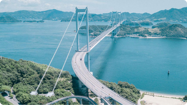
 Complete the Shimanami Kaido【87.7km】Travel across Imabari city, Ehime preif to Onomichi city, Hiroshima preif87.7km
 -
 The Yumeshima Kaido Cycling Route【45.9 km】Cycle four remote islands on the east side of the Shimanami Kaido63.1km
 -
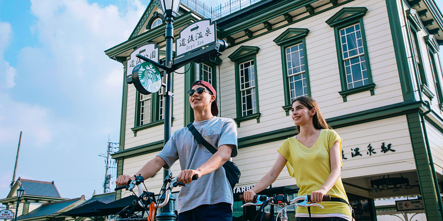
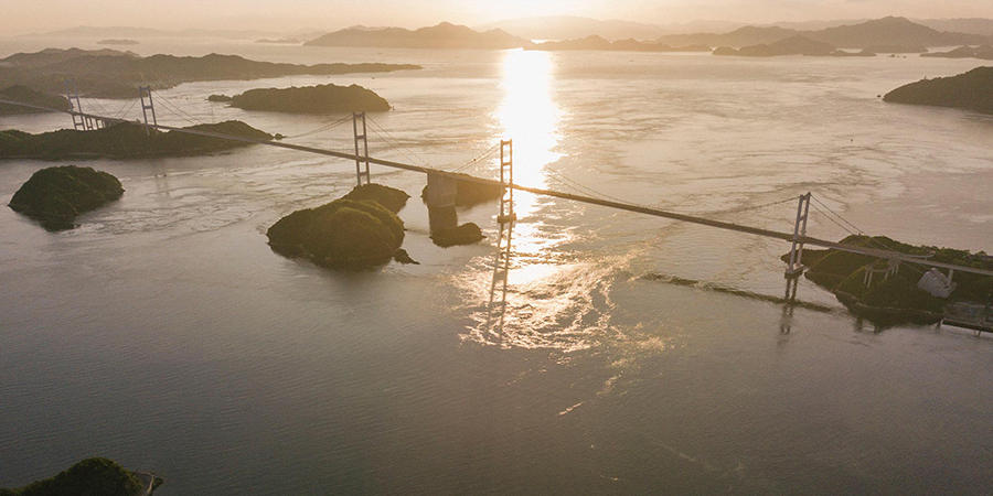
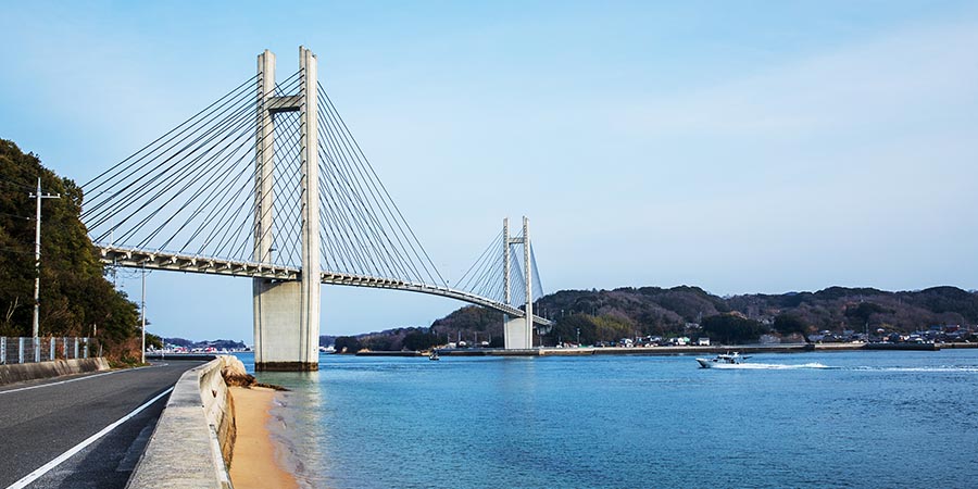
 Imabari-Dogo Hamakaze Sea Route
【66.8 km】See Ehime Prefecture’s best sights in one beautiful ride66.8km


This site uses cookies to improve usability, analyze usage, and deliver advertisements. For details, please see our Cookie Policy.